


Routes
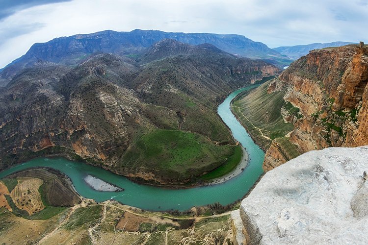
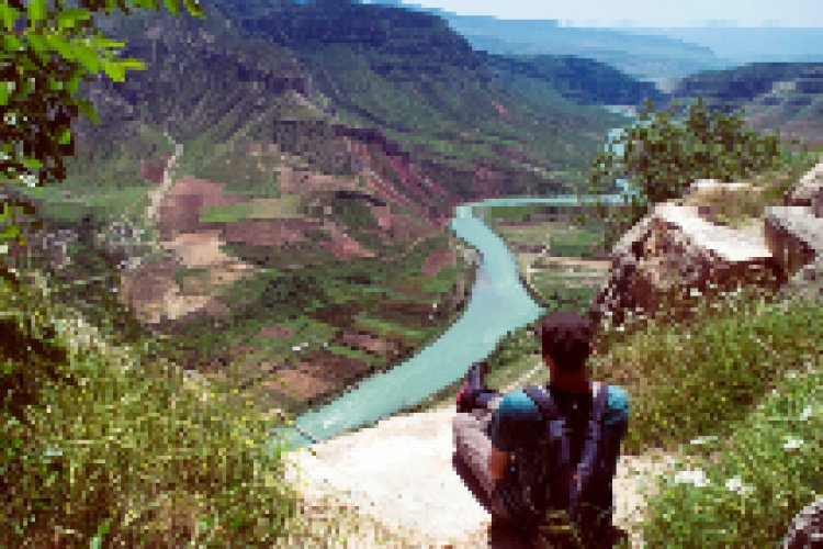
Botan Valley Aqaba Walking Path
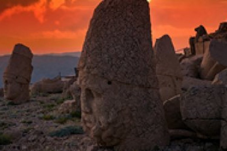
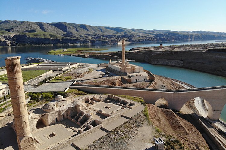
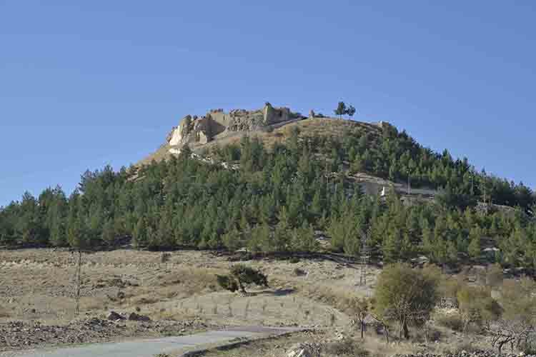
Aqaba means a man-made steep, difficult pass. It is estimated that the Aqaba Path, which is one of the three such gateways in the world, was built during the Assyrian times. Some of the original stone pavements on the ground of the path that starts from the Botan River and climbs a steep cliff to Siirt are still remaining. The highest point of the path is 910 meters above sea level and the lowest point is 620 meters above sea level. There is no water source on the Aqaba Path, which is 6.2 km long and has a "medium" difficulty level.
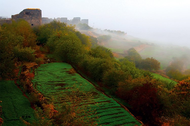
The walking path, which starts on the road leading to Mir Yakup Monastery, proceeds on a thin but distinct path and reaches a rift that overlooks the Botan Valley. A unique view of the valley emerges along the narrow passage that begins to descend after crossing the breach. The stone pavements of the Aqaba Path, which is estimated to have been built by the Assyrians thousands of years ago, are revealed especially after descending to the valley floor.
There is a weak reception from all cell phone lines among the entire walking path. When you go down to the bottom of the Botan Valley, the reception for all service providers get worse.
Source: http://www.botanvadisi.com