

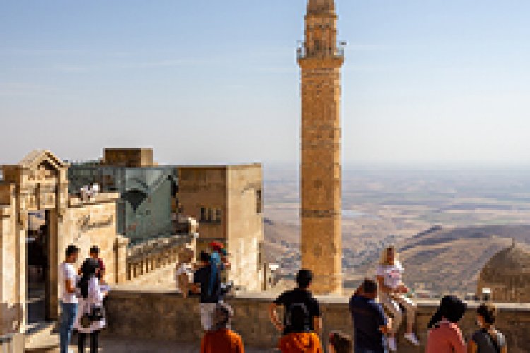


Routes
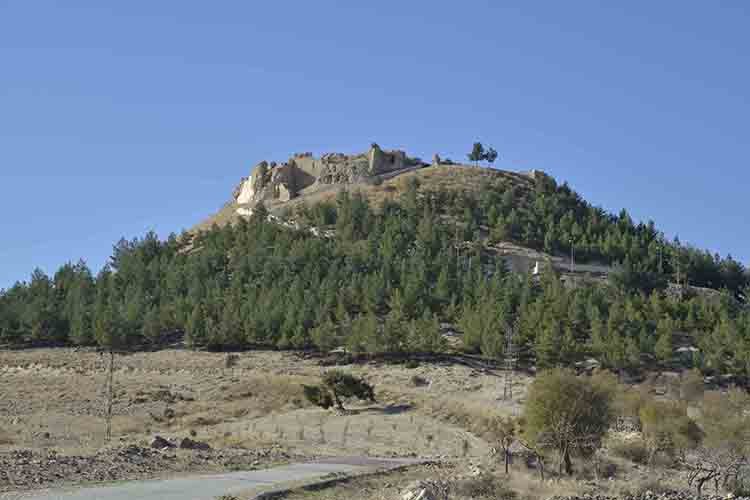
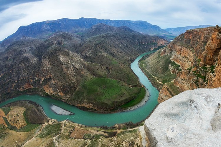
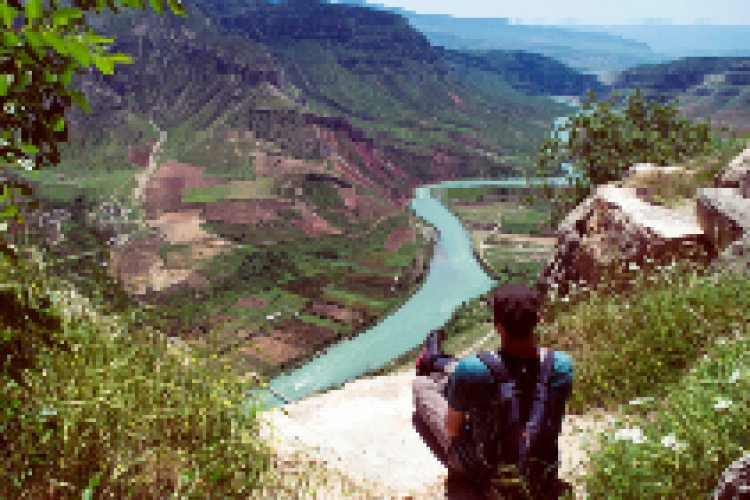
Botan Valley Peak Walking Path
The path, which starts 300 meters from the Ancient Path, turns left after reaching Gokcebag Town and climbs the 1180-meter-high hill, which is the highest point of the Botan Valley within the project area. This climb, made from a thin, but very distinct path, reveals a magnificent view of the Botan Valley. The part of the walking path up to Gokcebag, which is 10 km long round-trip, is in the "medium" difficulty level, and the part up to the top after this is in the "advanced" difficulty level due to its steep slope. There is no water source on the walking path. The walking path starts from a point that overlooks the Botan Valley on the Siirt-Eruh road. While the route rises slowly in the sparse forest, Gokcebag town remains at the bottom. When you reach the highest point on the northern slope of the Botan Valley, a magnificent view awaits you. There is a weak reception from all cell phone lines among the entire walking path. Still, the destination where the reception is best is the top of the valley where the walking path ends.