


Routes
Sirnak City Tour
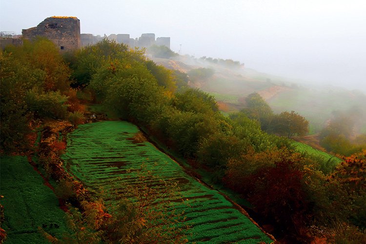
Finik Ruins, consists of an inner castle and an outer castle, which is located within the borders of today's Damlarca village of Guclukonak county. It is located on the northern side of the Tigris river, 12 km from the Cizre-Sirnak junction, on the upper part of the highway that leads to the current Guclukonak county. The remains of the walls in the outer castle extend in the north-south direction. The region is generally described as Finik and dominates the Tigris River and its Valley. The old settlements are spread over a wide area. The mosque, which is one of them, was established on the west side of the creek emerging from the rocks just ahead. A flat area was created with retaining walls on the western side of the stream. This area is on the north side of the mosque. There are also various ruins and caves on both slopes. Today, the mosque is on the wayside at the Guclukonak highway.
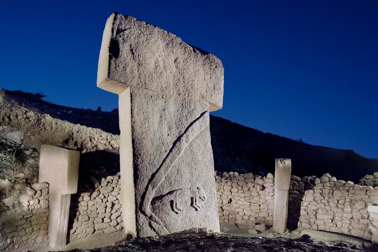
Reliefs such as kings and horse figures are found in Cudi Mountain, Cizre and Kasrik (Kings Pass) regions of Sirnak City, from the empires that existed in the region 6 (six) thousand years ago, such as the Assyrians and the Gutti Empire. Again, the sculptures are very similar to the rock reliefs of the Sassanid King Erdesêr Babekan and Sahpur's world heritage Taqê Bustan, Naksê Rustem and Husrevi Perviz in the ruins of Persepolis. It is known that Erdesêr, who surrounded Cizre for a while, made such reliefs on many riversides and valleys, just like in Kasrik.
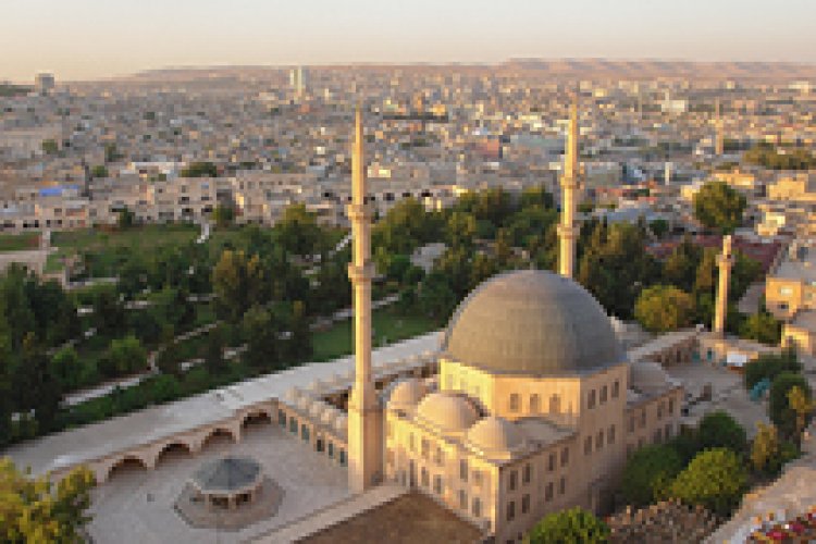
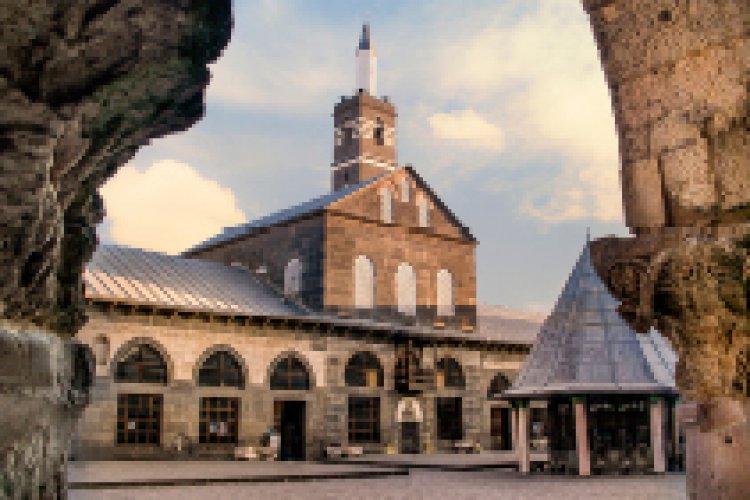
Cizre Ulu Mosque - The building, located in Cizre city center, in Dag Kapı Neighbourhood, has survived to the present day with additions and repairs made at different times. The mosque is limited by the road from four directions. There is no definite information about its first structure. However, according to 8 inscriptions on it, it is determined that it was built in the period of Mosul Atabeqs (1155-1160 AC) and repaired in 1203 and 1284. The last repair was made in 2007 by the Directorate General of Foundations. The dragon-figure doorknobs on the metal door which are in the Istanbul Museum of Turkish and Islamic Art today, are one of the most important elements that increase the reputation of the building. Cizre Ulu Mosque, which is still open for worship, is one of the most important characteristic structures of the region.
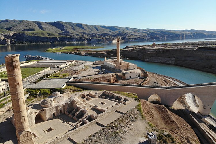
Although the Yafes Bridge is located in Cizre, which is connected to Sirnak, today it remains within the borders of Syria as the river bed has changed. The bridge, located to the east of Cizre, is known as Ibn Omer Bridge or Yafes Bridge because of the nearby Yafes village in the sources, and as the Bafid Bridge among the people. The Yafes Brige, which is in ruins today, except from its great arch and some of its feet remained intact, is known to be built in the XIIth century by the Mosul Atabeqs during the Seljuk period. Lime mortar rubble was used as filling material, and large basalt cut stones were used as covering material in the construction of the bridge, which showed an excellent stone workmanship. It has five pointed arches, large in the middle and smaller in the sides.
Red Madrasa was built by II. Han Seref Bey during the Cizre Principality in the 14th century. It was named Madrasa Sur because it was made of red bricks. It served as a higher education institution where the regional scholars of the period were trained. Its altar is made of white stone, with dimensions of 2.82x3.78. In the middle of the south facade of the madrasa, there is the delubrum of Sheikh Ahmed Al-Jazari in an inverted domed structure.
Mem-u Zin is located in the cemetery, in the Dagkapi Neighborhood, south of Cizre. The madrasa was built in 840/1437 by Emir Abdal (Abdullah) Ibn Abdillah Seyfettin Bohti. A small mosque, delubrum, a madrasa cell, an entrance unit that provides access to the courtyard and an iwan have remained from the building. Only the basic remains of the cells in the east and west wings of the madrasa have survived today. It is unclear whether there are 80 cells in the north wing. Later on, prayer area, mosque and fountain were added to this side. Below these cells is the Mem-u Zin Delubrum, the entrance of which is provided from the courtyard. The delubrum is descended from the courtyard by nine steps. The delubrum has a rectangular plan in the east-west direction and is covered with a pointed barrel vault extending in the same direction. The interior is illuminated by a window opening in the north. There are three tombs inside the delubrum.